
The Arch, near Aberystwyth
Walks through huge beech trees with views over...
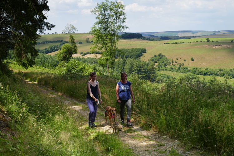
The Fishpools Walk is closed due to fallen trees.
Fishpools is in the area known as Radnor Forest, a landscape of hill farming, moorlands, steep narrow valleys and hills.
The walking trail goes past an old Birmingham Water Board sighting tower and to a viewpoint over the village of Bleddfa and the surrounding countryside.
Bleddfa means “place of the wolf” and tradition has it that the last wolves in Wales were driven out of Radnor Forest into the valley here and killed.
There are far-reaching views from the car park.
The walking trail is waymarked from start to finish.
Look out for the information panel at the start of the trail.
Find out about walking trail grades.
The trail first passes an old water sighting tower used to survey the line of pipeline from the Elan Valley to a reservoir in the Midlands.
Further along there are beautiful views to the west, out across the valley and the hills surrounding Abbey Cwm Hir.
There is an optional loop (½ mile/0.9 kilometres) that goes around the heathland where local people once cut peat for fuel (an ancient right known as “turbary”).

Fishpools is in the area known as Radnor Forest.
Radnor Forest was once a royal hunting ground. In those days it wasn’t an area covered in trees but an unenclosed piece of land, legally set aside for the Norman kings to hunt deer.
Today Radnor Forest is a land of hill farming and great moorlands, steep narrow valleys and hills, rising up to the highest point in Radnorshire, Black Mixen at 2150 feet (650 metres).
There are walking trails at two other woodlands managed by Natural Resources Wales within Radnor Forest.
Go to Nash Wood and Warren Wood for more information.
We want you to return home safely after your visit here.
You are responsible for your own safety as well as the safety of any children and animals with you during your visit.
For advice and tips to help you plan your visit here go to Visiting our places safely.
See the top of this webpage for details of any planned closures or other changes to visitor facilities here.
For your safety, always follow instructions from staff and signs including those for trail diversions or closures.
We may divert or close trails whilst we undertake maintenance work or other operations and we may need to close other visitor facilities temporarily.
In extreme weather, we may close facilities at short notice due to the risk of injury to visitors and staff.
You may need permission from us to organise an event or to carry out some activities on our land.
Check if you are allowed to use our land.
We recommend you follow these directions or use the Google map below which has a pin on this place’s location.
Fishpools is 8 miles west of Knighton.
From Knighton take the A488 to the village of Bleddfa.
After passing through Bleddfa, continue along this road for just over 1 mile and the entrance sign for Fishpools car park is on the left.
Turn off here and follow the track to the car park.
The Ordnance Survey (OS) grid reference for the car park is SO 188 681 (Explorer Map 200).
The postcode is LD7 1PA. Please note that this postcode covers a wide area and will not take you directly to the entrance.
View this place on the What3Words website.
The nearest mainline railway station is in Dolau.
For details of public transport go to the Traveline Cymru website.
Parking is free of charge.
Overnight parking is not permitted.
There are no staff at this location.
Contact our customer team for general enquiries during office hours, Monday to Friday.


